
At around 11:00 a.m. EDT (15:00 UTC) on October 8, Matthew made landfall at Cape Romain National Wildlife Refuge, near McClellanville, South Carolina as a Category 1 hurricane with winds of 75 mph (120 km/h).[27] This made Matthew the first hurricane to make landfall in the United States north of Florida in the month of October since Hurricane Hazel in 1954.
CHERRY GROVE, SC (WBTW) – Fire crews responded to a working fire on 49th and North Ocean Boulevard in Cherry Grove.
News13 crews arrived at the fire around 7:30 p.m. and initially observed one condo on fire. As of 9:45 p.m., five condos were on fire and one was already burned to the ground.
Firemen are not sure how the fire began, but there is a possibility that a nearby power line could be the cause. At the time of the initial second row structure fire in the Cherry Grove section of North Myrtle Beach on October 8, sustained wind speeds were 55-60 mph in North Myrtle Beach with frequent wind gusts of up to 70 mph.


Before Fire


Beach Damage from Hurricane Matthew
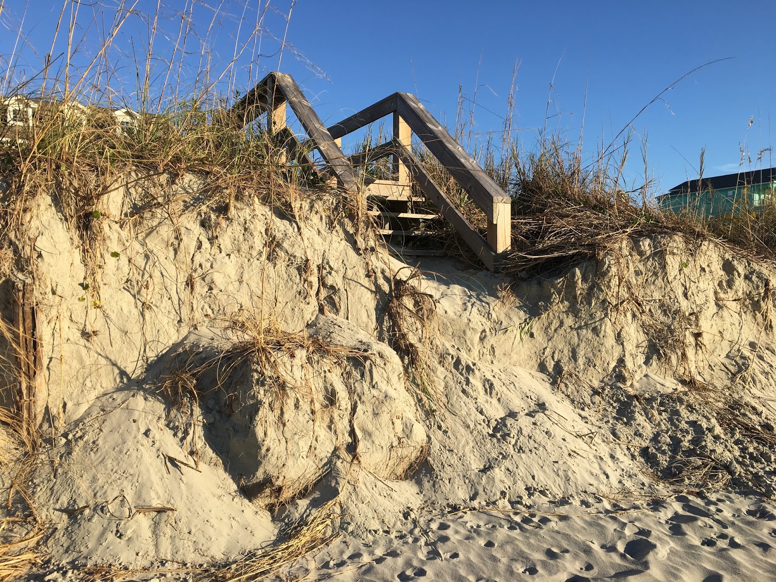
Major Beach and Dune erosion in Cherry Grove
Walk over ending in dunes

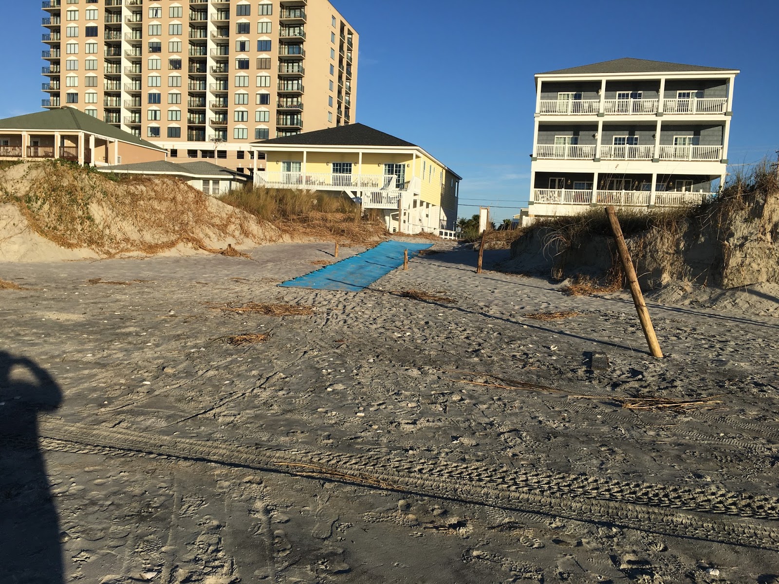
Emergency Beach Access
after Matthew
Beach Walk over, after Matthew


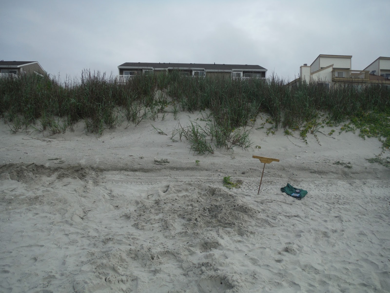
40th Ave N....Nest #7 location
July 2016, Before Matthew


40th Ave N. After Matthew

Looking toward Prince Resort
After Matthew

39th Ave, Sept 2015
erosion from King Tides


After Matthew


6100 North Ocean Blvd,
May 2016

Sea Cabins Pier, Front of 6100 North
Ocean Blvd, Oct 7
Before Matthew

Before Matthew


Pier after storm surge
Front end is missing

Front of 6100 North Ocean Blvd
Oct. 9th, After Matthew


Sea Marsh Condo, 6108 North Ocean Blvd
Before Matthew

After Matthew

Looking South from 63rd Ave N
After Matthew

6100 North Ocean Blvd

Walkway from Empty Lots, 6200 North Ocean Blvd

Steep Drop off

Nice dune buildup May 2016

Same dunes after Matthew

Emergency Vehicle Access
6200 North Ocean blvd


Looking toward the Point, 63rd Ave N
Sept 2015


Oct 9, 2016


Looking toward the Channel

Looking back toward Condo Complex from the Point


South of Sea Cabins Pier

Sea Cabins Pier
Sept 2015

October 9, 2016

49th Ave N
June 2016

49th Ave N, Oct 9


50th Ave N, Sept 2015
After High tides

Erosion in 2015


Same area, 50th Ave N after Matthew and
resulting fire
Condo Complex plus 3 beach houses S of complex are destroyed by fire

Public Beach Access around 53rd Ave N
after Matthew


50th Ave N

Beach erosion from Matthew, South of
Cherry Grove Pier
Sea Wall is exposed

Walk over is now in middle of beach,
no dunes to walk over


10th Ave N, August 2016

10th Ave N, October 6


10th Ave N, Oct 9th


Cherry Grove Pier, missing pylons
October 9

Flicker chasing large grass hopper,
lands on 3rd floor ocean front balcony to rest
October 9

Butterflies on Beach, October 10th


No comments:
Post a Comment